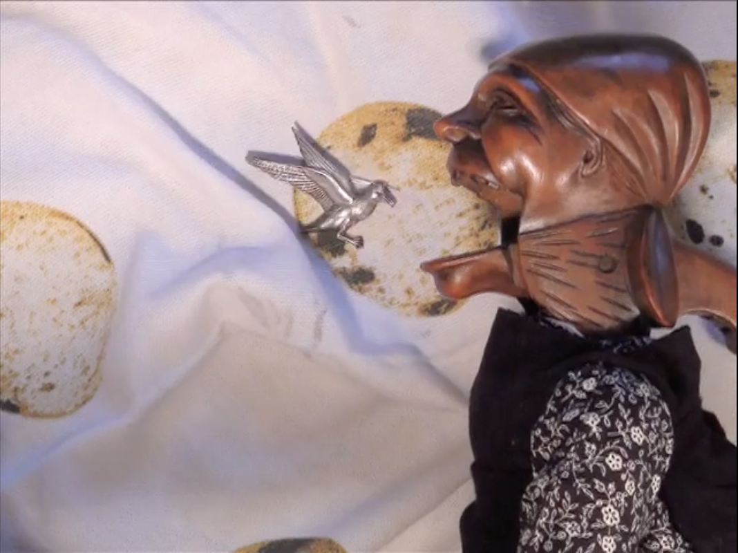
Black Lie (2008-2012)
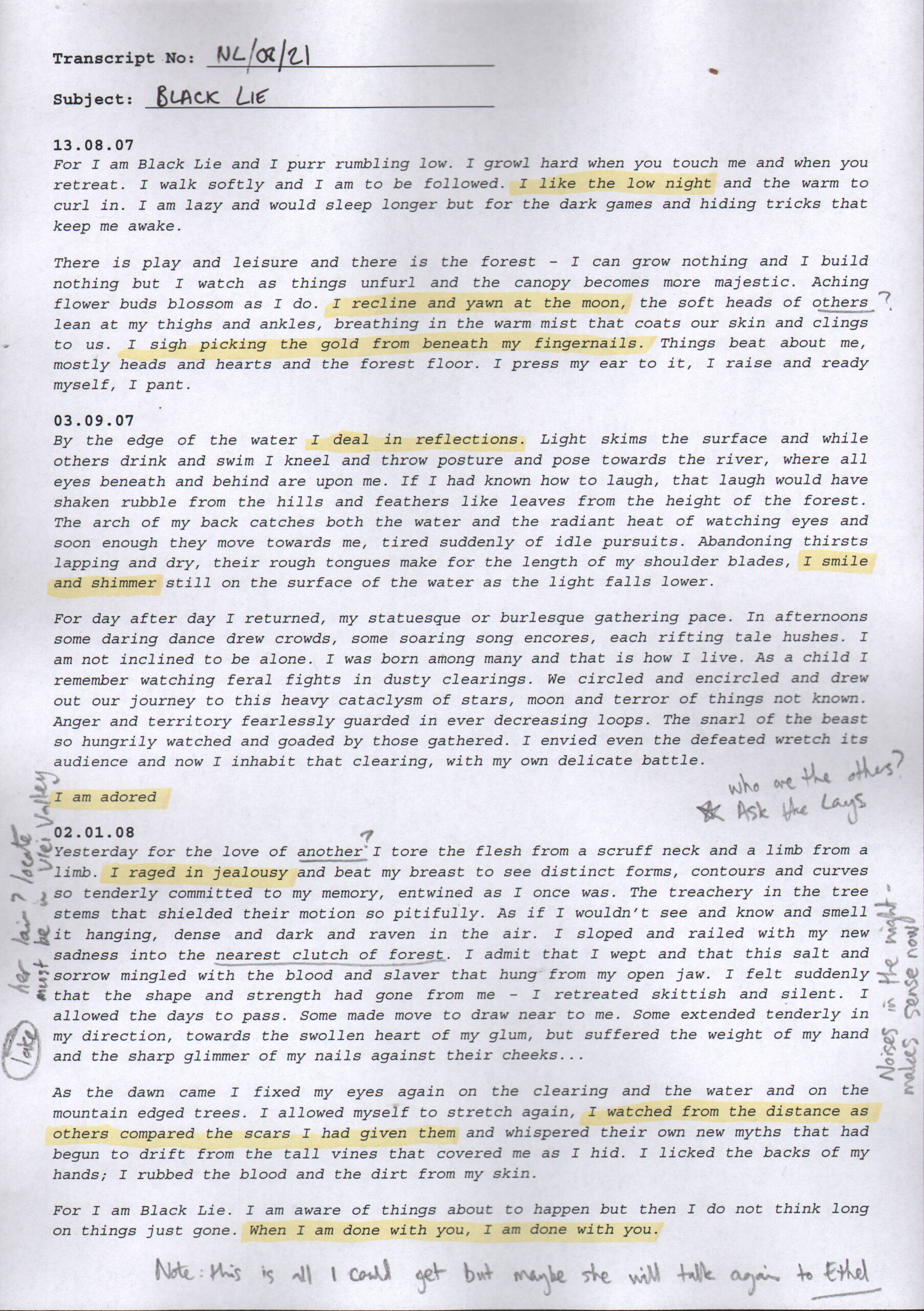
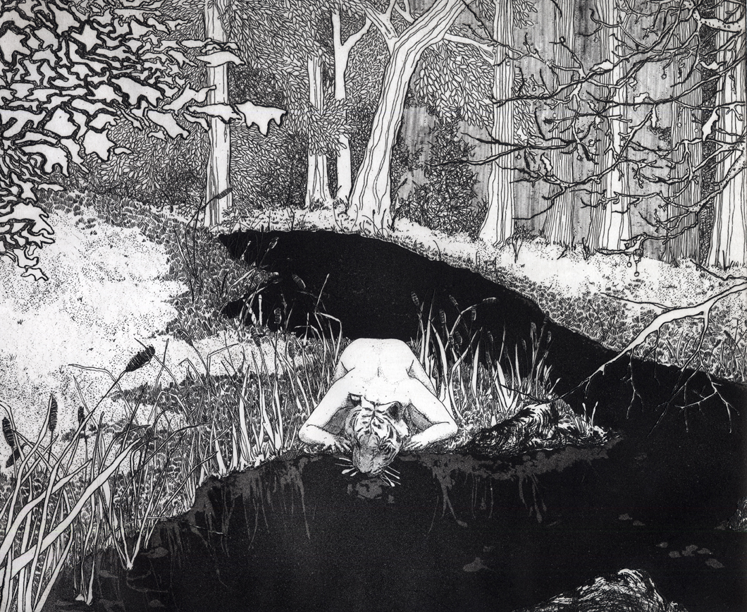
For I am Black Lie and I purr rumbling low. I growl hard when you touch me and when you retreat. I walk softly and I am to be followed.
For I am Black Lie and I purr rumbling low. I growl hard when you touch me and when you retreat. I walk softly and I am to be followed.
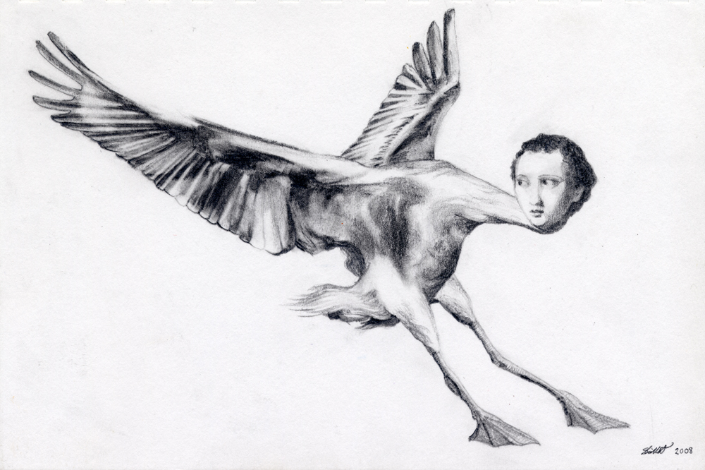
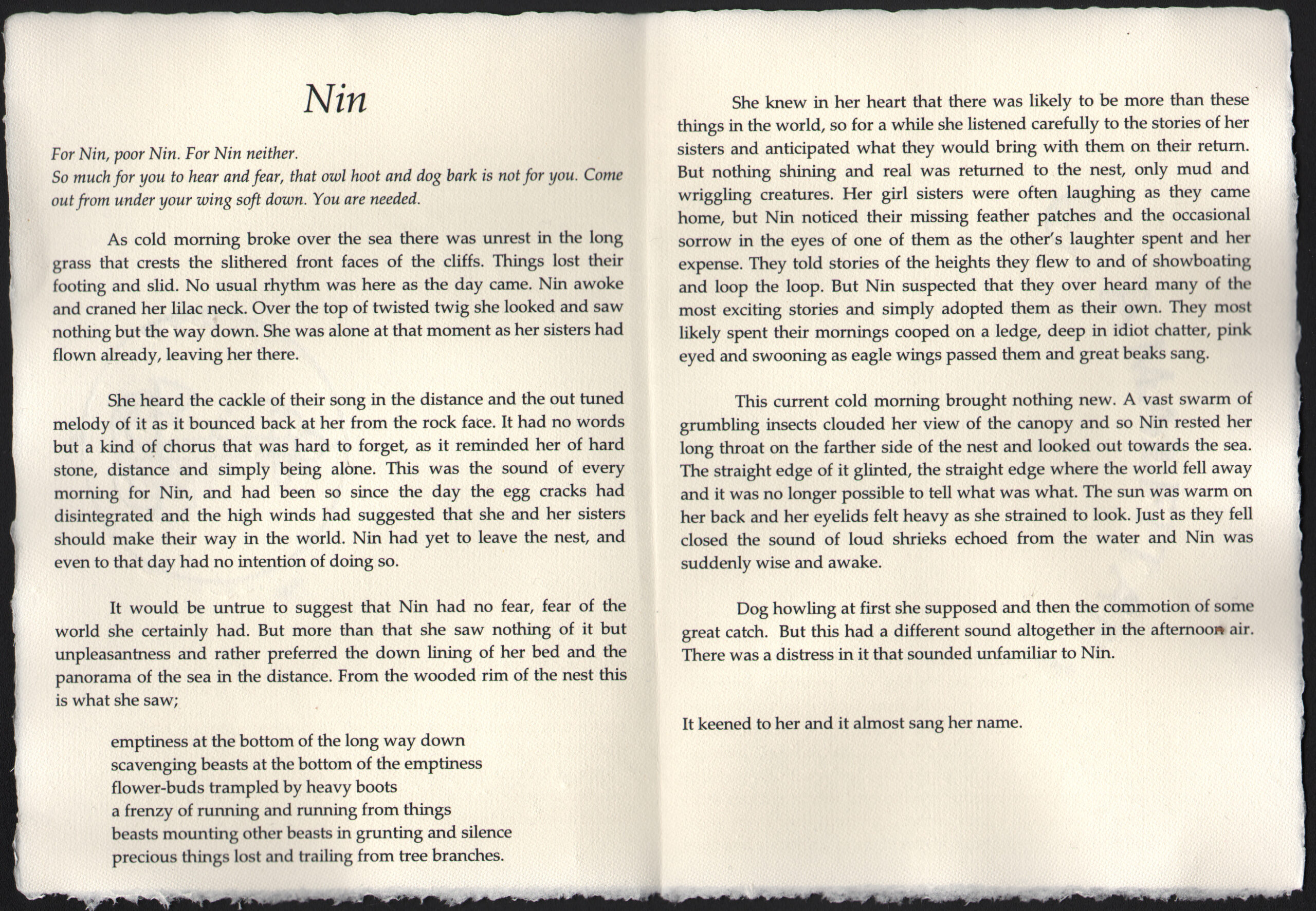
For Nin, poor Nin. For Nin neither.
So much for you to hear and fear, that owl hoot and dog bark is not for you. Come out from under your wing soft down. You are needed.
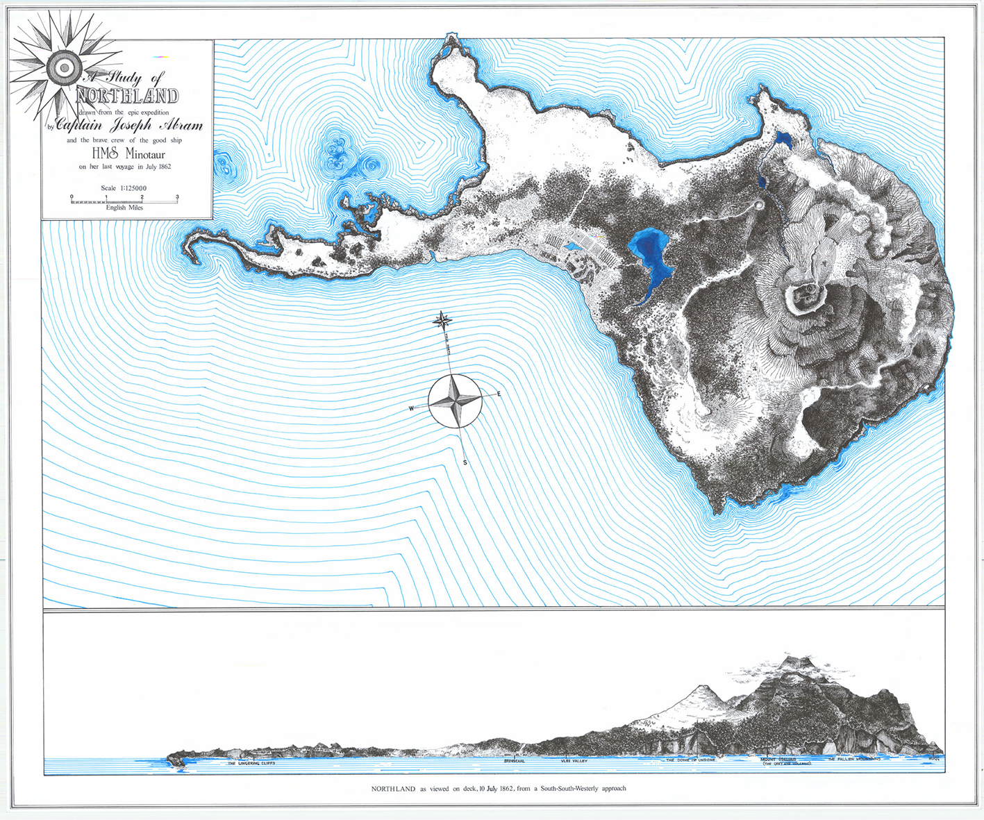
In medieval geographies, Northland is a distant place located beyond the borders of the known world.
Stop motion animation made on my parents’ kitchen table in Lancashire and on the floor of an artist’s clapboard house in Los Angeles.
Joseph reaches down and picks up a shell. He hands it to the boy, who is dragging a red plastic bucket across the sand. “Here. What about this one?”
Bill assesses the offering intently. “No Daddy,” he says firmly, “It’s broken here, see.”
It is late when I see you moving into the flat above the pub opposite. Must be past 11, because I hear the doors swinging open, hot blue noise gulping for air.